EMSO-Azores Infrastructure description
|
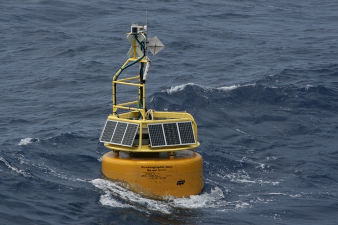
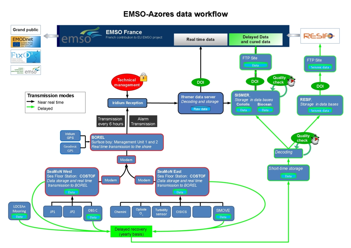
Transmission buoy, BOREL2
Coordinates: 37.3 °N and 32.28 °W Short description: Borel is the surface buoy, relaying bi-directionally measurement data or commands between seabed and shore, through underwater acoustics and satellite. Borel holds a geodetic Global Positioning System and can host near surface ocean sensors. |
|
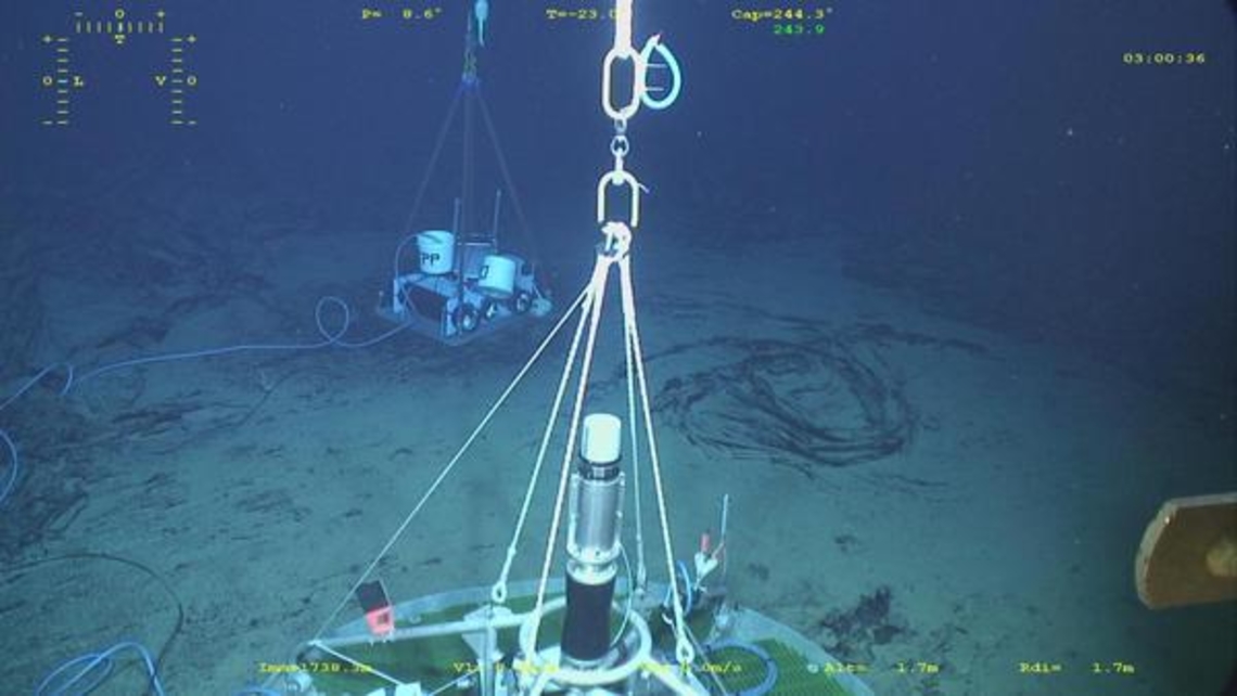
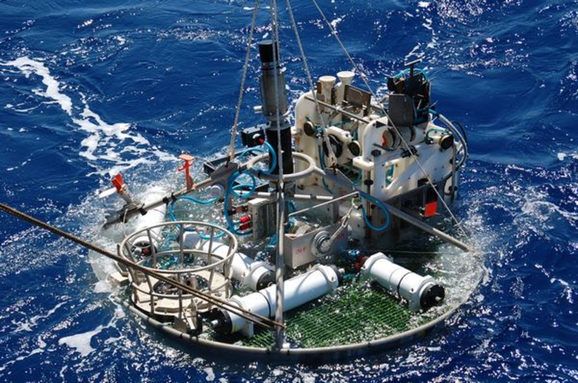
SeaMoN West
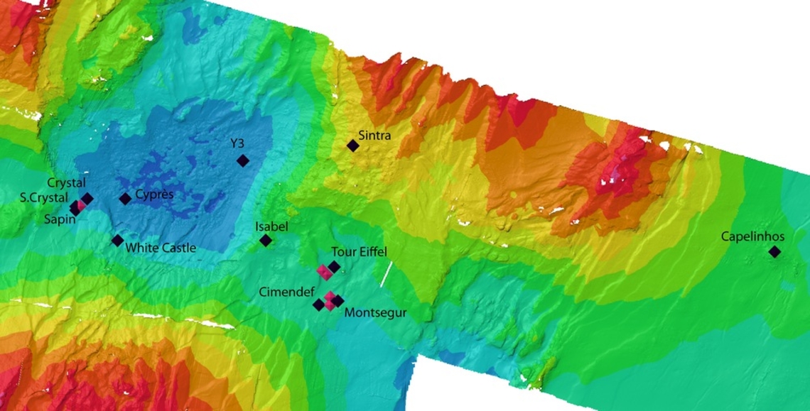
Coordinates: 37.291 °N and 32.279 °W Short description: SeaMoN West is the station moored in the lava lake. Here, an EGIM serves the local set of sensors, generic and specific, and provides bi-directional acoustic communication with the surface buoy. SeaMoN West is dedicated to environmental (EOVs) and geophysical observations. | EGIM with
serving additional sensors
|
SeaMoN East
Coordinates: 37.29 °N and 32.28 °W Short description: SeaMoN East is the station positionned at the base of the Tour Eiffel active edifice. It serves the local set of sensors and provides bi-directional acoustic communication with the surface buoy. SeaMoN East is the EMSO-Azores ecological node. |
|
Oceanographic mooring
Coordinates: 37.299 °N and 32.276 °W Short description: The oceanographic mooring is anchored at Lucky Strike and allows the study of hydrographic processes such as as internal tides or passing mesoscale eddies. The mooring is autonomous and is serviced during the maintenance cruise. |
|
Autonomous devices
| ||
Data policy and access
Maintenance
|
Contacts
|
1 : CNRS, France
2 : Ifremer, France

